Objetive
Connect Geolantis.360 app for Android with the Leica GG04 GNSS receiver via Leica Zeno Connect.
Requirements
a) Hardware:
– Leica GG04 GNSS recevier
– Mobile device with Android OS and internal GNSS receiver
b) Software:
– Leica Zeno Connect for Android, available on Google PlayStore
– Geolantis.360 Android app, available on Google PlayStore
Details
For connecting Geolantis.360 with the Leica GG04 GNSS receiver, Leica Zeno Connect must be set up previously, which works as location provider for third party apps. The following steps must be followed for setting up both programs:
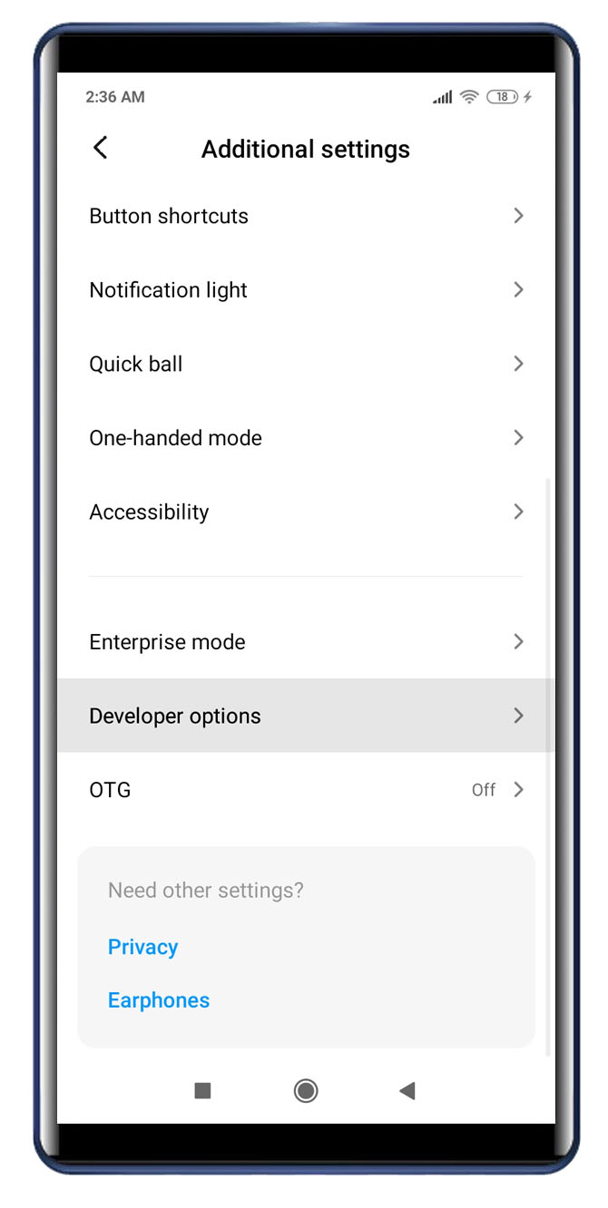
1. Go to Settings > Additional settings > Developer Options within the mobile device
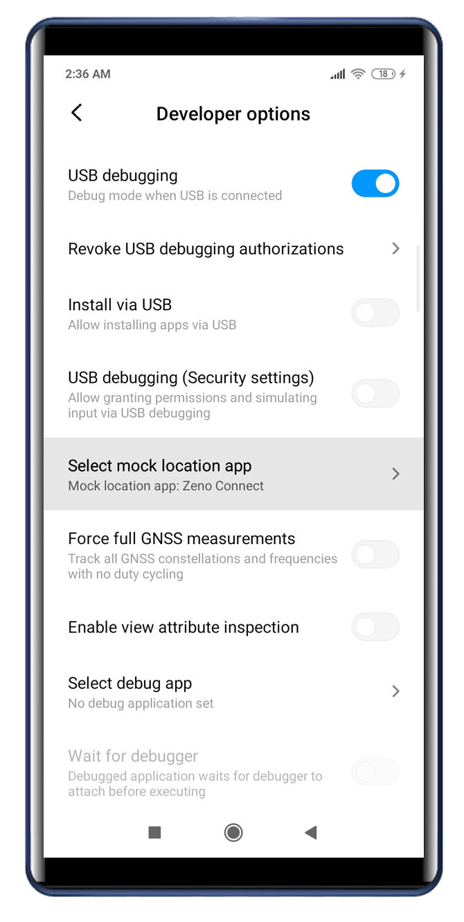
2. Select Leica Zeno Connect in the section Select mock location app
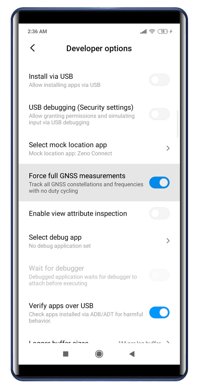
3. Go back to the Developer options menu
4. Turn on the internal GNSS receiver of the mobile device
5. Run Leica Zeno Connect app
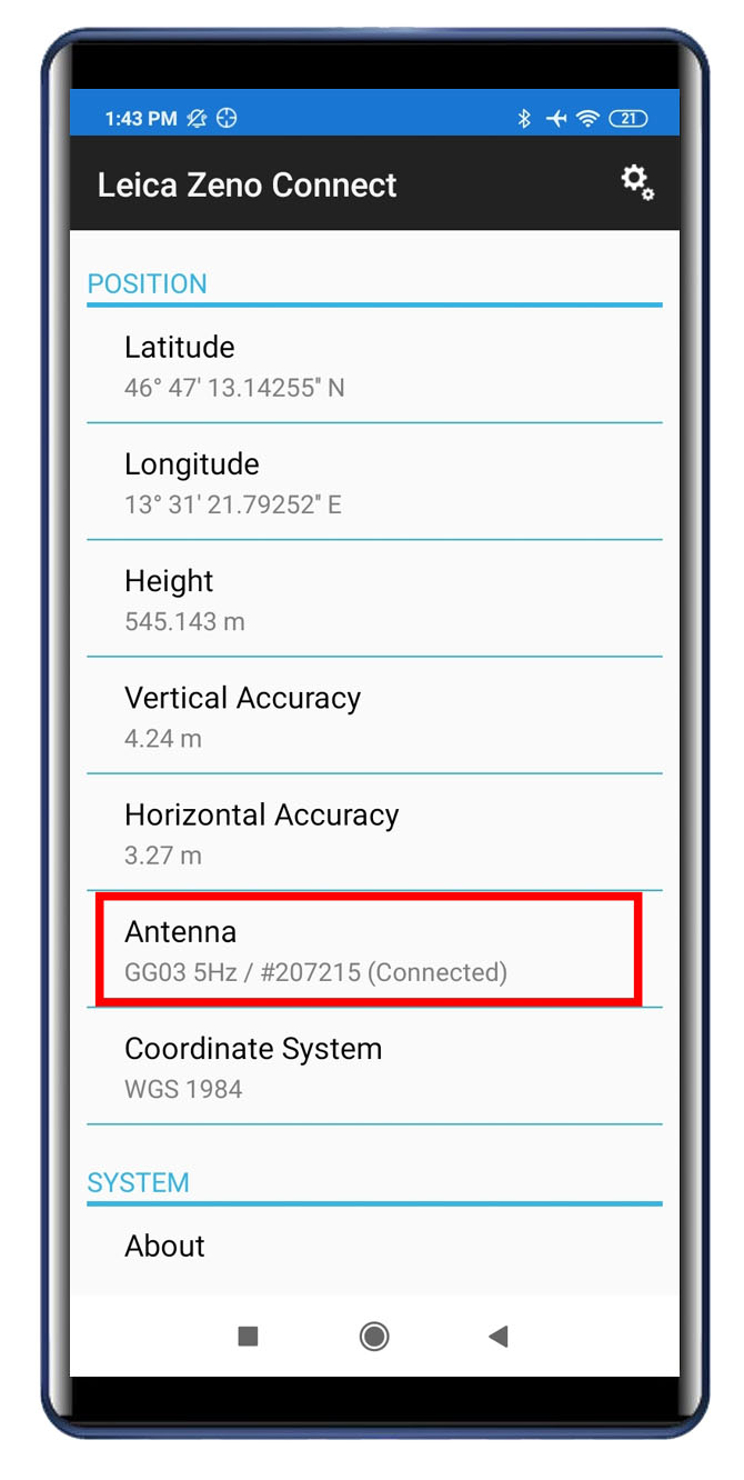
6. Bound and select the Leica GG04 GNSS receiver in the Antenna section
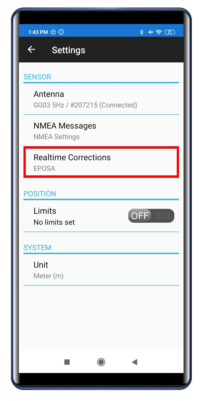
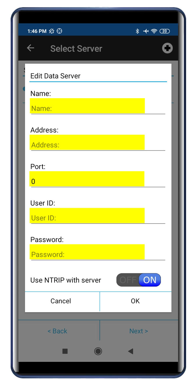
7. Create and set up a profile for receiving real time corrections
8. Provide GNSS subscription information and click OK
9. Close Leica Zeno Connect
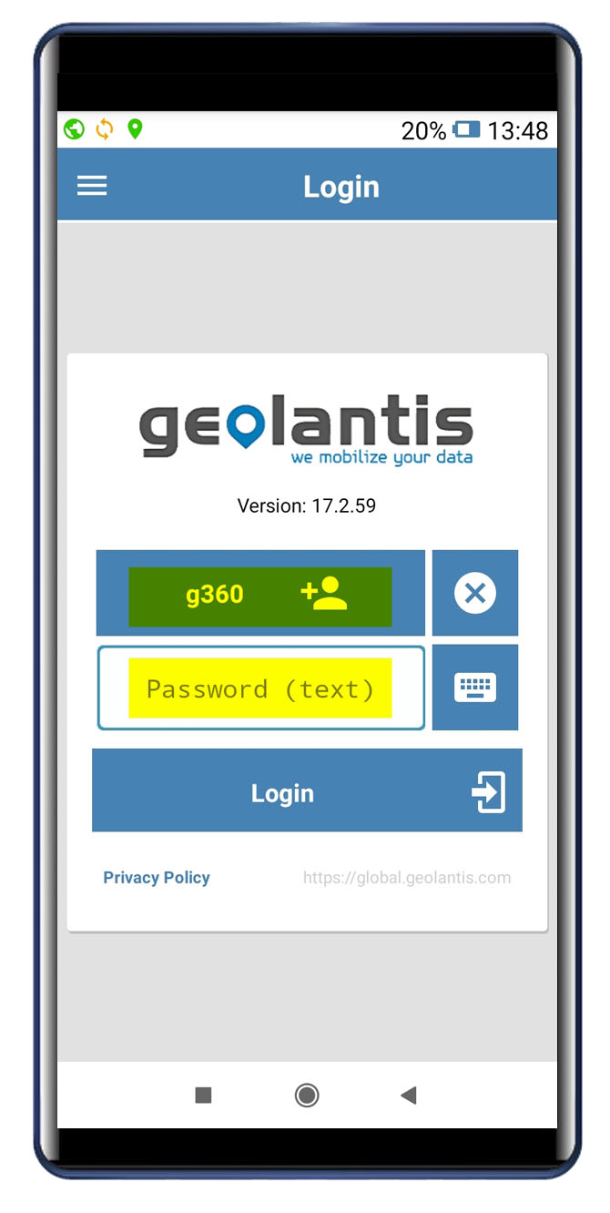
10. Run Geolantis.360 Android app
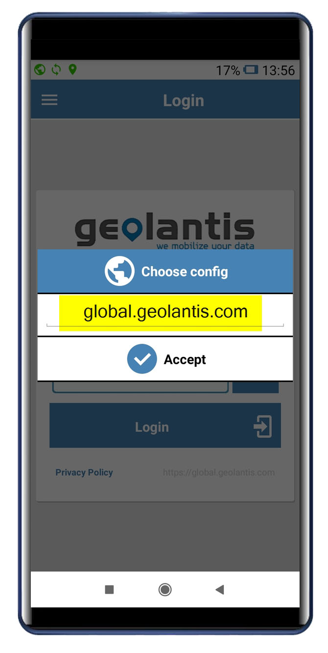
11. Provide domain i.e. collector.geolantis.com (for first time login only), username, and password
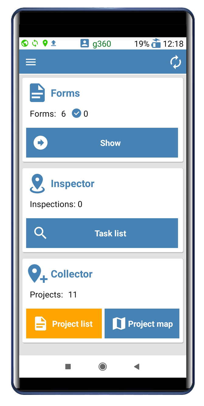
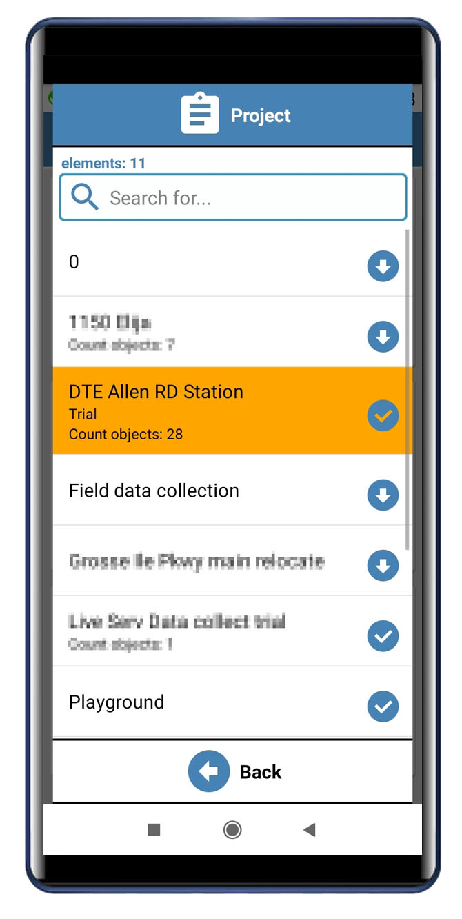
12. Go to Collector> Project list and select project to download and open
13. From the map screen, go to the Bluetooth menu and select NMEA
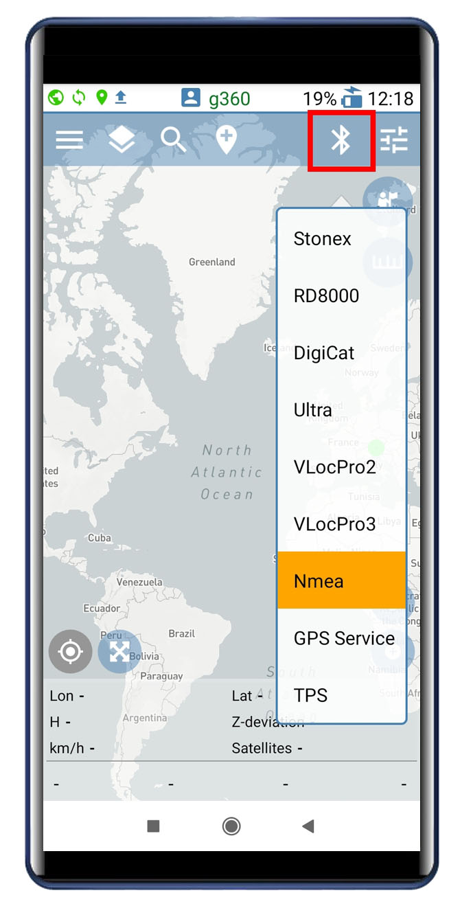
14. Select the GG04 antenna from the list (for first time pairing please enter the pairing code 0000)
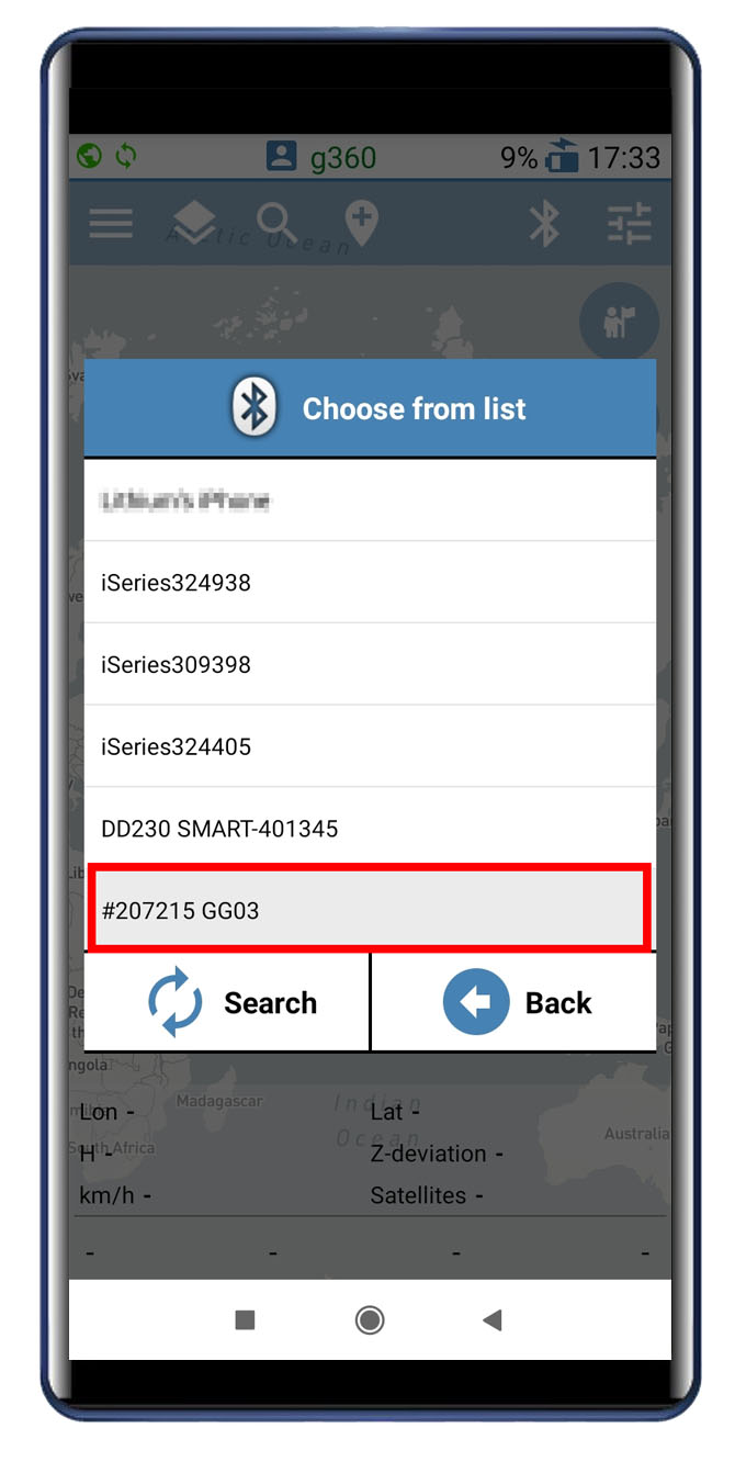
15. Ensure that Bluetooth connection has been established
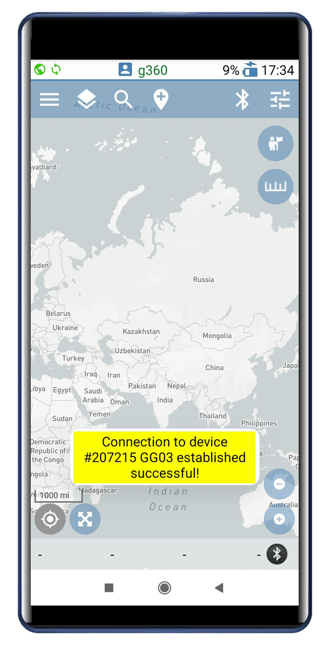
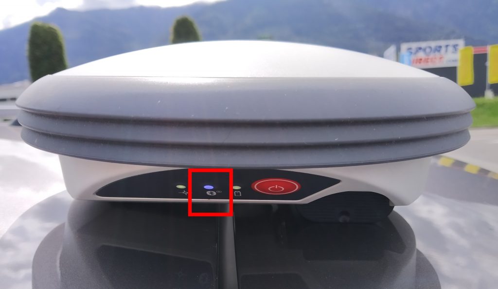
When connected successfully, the Bluetooth indicator in the antenna turns to blue.
16. Click on the Bluetooth symbol in the GNSS bar to verify that Geolantis.360 is receiving the desired accuracy. This accuracy must match with the accuracy shown by Leica Zeno Connect on the notification screen of the mobile device
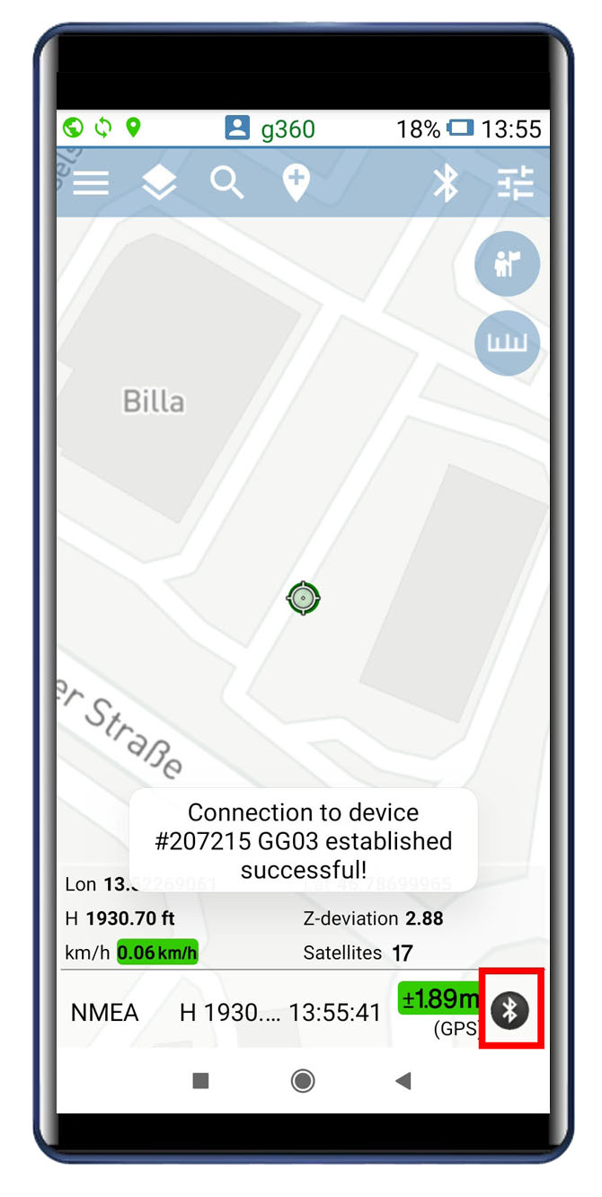
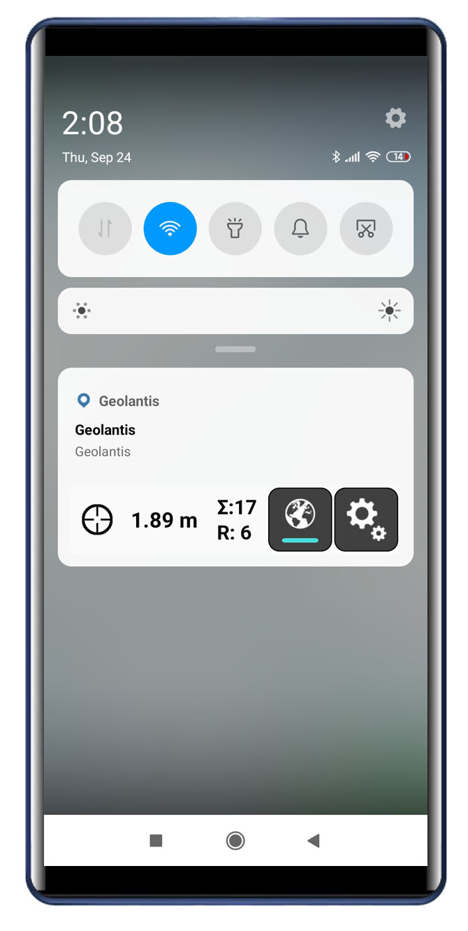
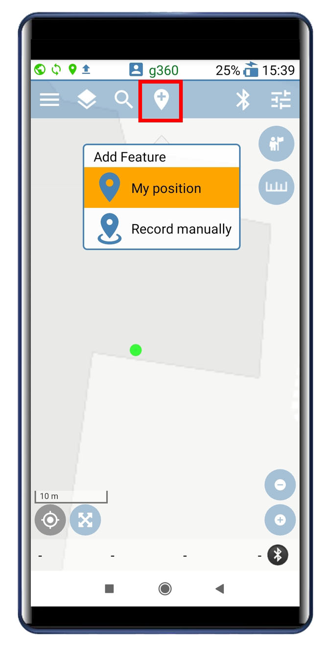
Once the GPS accuracy indicator appears in green color, Geolantis.360 becomes ready to start precise mapping of asset data using the My position selector.