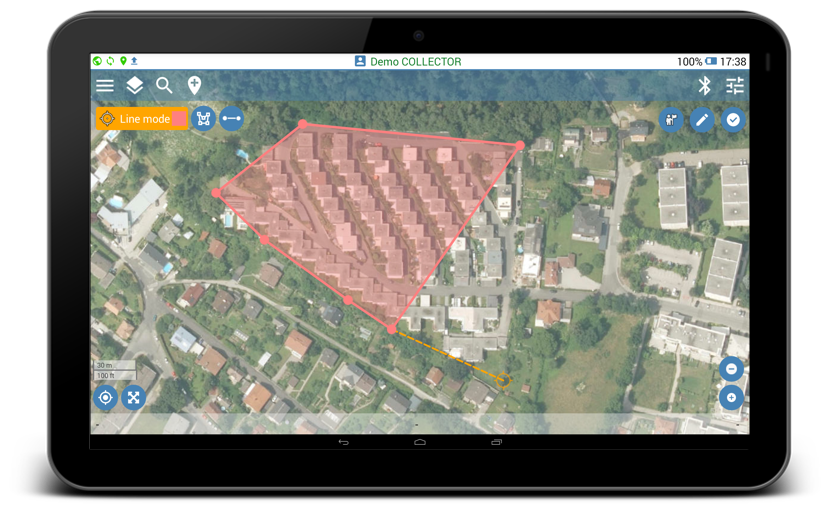
Start mapping polygon features in My Position or Record Manually mode as follows:
- Click the Place button
 to start mapping.
 - Select Feature Class of the „polygon“ type.
- Click the active Place button
 to create a new node.
 - To continue mapping, start walking for My position recording mode, or select other location on the map for Record Manually mode, and place new node. Polygons can be constructed after placing at least three nods.
- Click the Done button
 only when the polygon is completed to save and sync the recorded features, or click the cancel button to abort the mapping.
 - After data syncing is completed, the created features can be viewed and exported from the Features page at Geolantis.360 web portal.