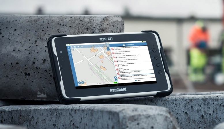
In case you encounter a sync failure incident, the data exchange symbol on the top left of your mobile app must be highlighted in red with an exclamation mark , and some collected data cannot be synchronized with the web portal properly. This issue is likely to occur in areas where there is a […]
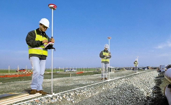
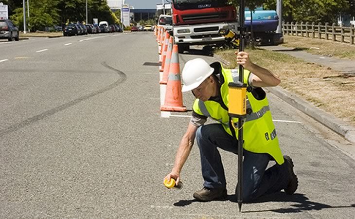
The accuracy of data collection depends on the GIS Setting defined in the projects. In the GIS Settings it is possible to define two parameters in cm or inches: Minimum GPS accuracy (shows warning at data collection) defines when a warning will appear during data collection (higher range than the “green” proper accuracy) Minimum GPS […]
Styling line features Adjust the line style in the configuration of a line Feature-class Choose between solid, dashed, or doted line styles
There is no explicit restriction on the feature symbol size, although the smaller is the better. Otherwise, the map will be overloaded when features are very close to each other. 16×16 or 32×32 in screen resolution (96 dpi) should be fine.