Geolantis.360 version 14 release notes:
Geolantis.360 version 13 release notes:
Geolantis.360 version 12 release notes:
Geolantis.360 version 11 release notes:
Geolantis.360 version 10 release notes:
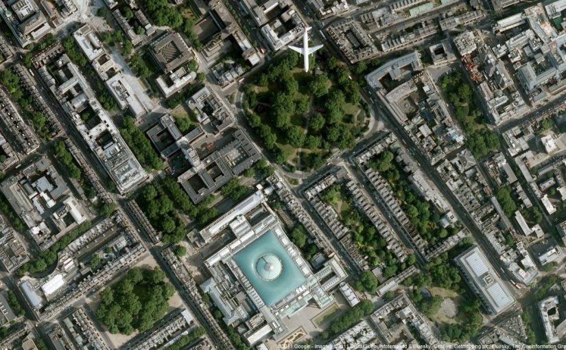
Import World File Imagery to a Project The following guide shows how to import raster data/imagery to projects step by step: A) Create a new Project Go to the Projects page (Master Data > Projects). Create a new project. Define necessary project metadata and select a proper EPSG spatial reference (for example, use EPSG 2056 for projects […]
This article demonstrates how Geolantis.360 can be used to collect spatial and attribute data, manage a workforce and be the central workforce management platform for an educational facility management project. By using the Geolantis.360 web portal and the mobile field app we can manage our field team movements as follows: Create repeatable field inspection processes […]
Geolantis.360 version 9 release notes:
In this video tutorial you will learn how to send out inspection tasks from Geolantis.360 portal to the field crew at a glance!
Geolantis.360 version 7 release notes:


