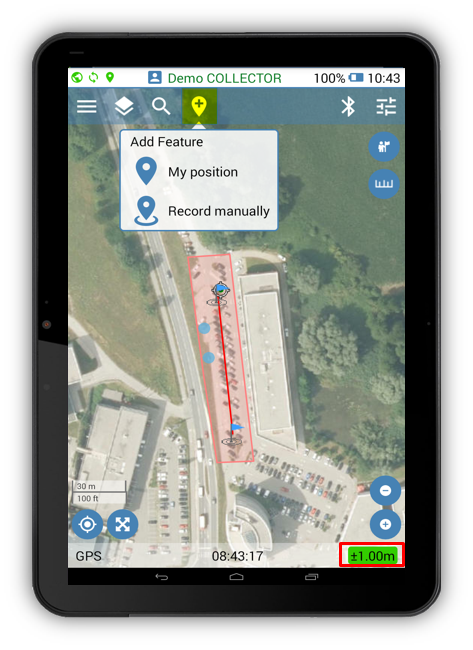
Mapping new features in Geolantis.360 mobile app can be done based on user‘s actual GPS position (My Position), or manual recording from any defined location on the map (Record Manually).
- Start adding Features in My Position or Record Manually mode as follows:
- Click the place button
to start mapping.
- Select feature class with „point“ feature type.
- Click the active Place button
to create a new point.
- To continue mapping, start walking for My position recording mode, or select other location on the map for Record Manually mode.
- Click the Done button
to save and sync the recorded features or click the cancel button
to abort the mapping.
- After data syncing is completed, the created features can be viewed and exported from the Features page at Geolantis.360 web portal.
