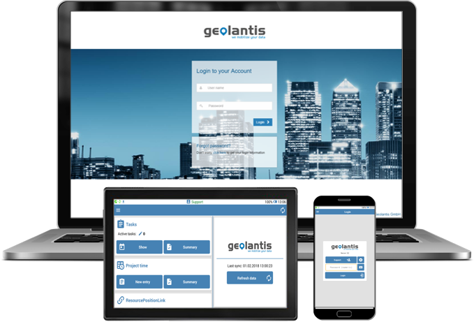
What is Geolantis.360?
- Geolantis.360 is the only enterprise utility mapping and inspection solution in the market.
- It combines surveying, mapping, GIS, and CAD functions, as well as workforce management in one application.
- Geolantis.360 is a unique cloud-based solution for utility mapping and infrastructure networks detection that delivers Software as a Service (SaaS) to manage projects, tasks and geospatial data within one central dashboard.
- Geolantis.360 is a mapping solution for documenting pipelines, cables and other infrastructure networks.
Geolantis.360 vs. GIS System
- While the software allows GIS-like data management and collection, it does not offer all functions of a full GIS system such as data analysis, geo-processing functions, and spatial queries.
- Geolantis.360 should be considered only as a solution for collecting and visualizing GIS features.
Geolantis.360 vs. CAD System
- Geolantis.360 allows importing and exporting CAD files.
- However it shows a CAD file (drawing) in every detail and goes far beyond how a GIS software can display CAD data, it does not offer creating all CAD feature types (arcs, splines,…, etc.).
- It allows creating only basic spatial feature types such as point, line, and polygon.
Geolantis.360 vs. Surveying Systems
- Geolantis.360 Inspector and Collector field app allows surveying-like data collection tools but does not offer every function offered in a surveying software such as angle measurement, leveling, and 3D laser scanning.
- It integrates GPS sensors such as GNSS, TPS and detection devices (EMI, GPR) and offers basic surveying functions to document detected underground utilities.
- It should enable non-surveyors to map pipelines and cable networks.